Aerial mapping services involve using drones equipped with cameras and Lidar sensors to capture aerial data, creating detailed maps and 3D models of landscapes, and buildings. These services offer various applications across industries such as agriculture, construction, mining, surveying, and environmental monitoring.
The process involves planning a flight path, placing ground control points, capturing geo referenced images, or LiDAR data and processing the collected information using specialized software. Drone mapping provides efficient and accurate ways to plan projects, gathering geographical information to assess terrain, monitor change and make informed decisions.
Our photogrammetry data specs are:
Horizontal accuracy >2cm
Vertical accuracy >4cm
Our photogrammetry data specs are:
Horizontal accuracy >2cm
Vertical accuracy >4cm
DEM & DSM
TIN Models
Orthomosaics
3D Point Clouds
3D Models of Landscapes and Structures
Contour Lines
Area and Volume Calculations
Water Retention Volumes
Drainage/Slope Analysis
Detailed Reports
3D Fly Through Tours
Images
Deliverables
Deliverables
DEM & DSM
TIN Models
Orthomosaics
3D Point Clouds
3D Models of Landscapes and Structures
Countour Lines
Area and Volume Calculations
Water Retention Volumes
Drainage/Slope Analysis
Detailed Reports
3D Fly Through Tours
Images
APPLICATIONS
Customized solutions
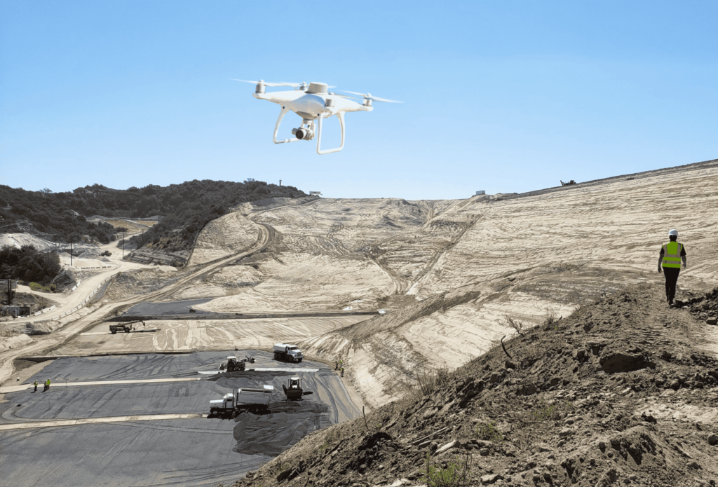
SITE SURVEY
The most common use for drone mapping is the site survey to determine topography and create a site plan. The site could be a parcel of land for development, a facility expansion, road improvement, or a mine site. Crows Nest will leverage drone Photogrammetry and RTK GPS rovers to create topographical maps for the survey plan. Drone mapping complements traditional survey methods to create a more detailed and accurate site survey.
Digital elevation model
Digital Elevation Models (DEMs) offer precise digital representations of terrain elevation, pivotal in multiple sectors. These 3D models of the Earth’s surface are integral to Geographic Information Systems (GIS), aiding urban planning, environmental analysis, and infrastructure development. They facilitate engineering projects by assessing slope stability and estimating volumes for construction. In environmental and natural resource management, DEMs support flood risk assessment, habitat analysis, and resource planning.
Orthomosaic Map
Orthomosaics represent sections of land with high quality and up to date georeferenced maps. These customizable maps have a wide range of applications across multiple industries serving purposes such as project planning, site representation, and showcasing land and properties.
As Built to Design survey
As built-to-design surface survey involves comparing the actual constructed surface of a project or infrastructure with its intended design. This survey aims to assess and document any deviations between the planned specifications and the final built outcome. Its purpose is to identify discrepancies, measure accuracy, and ensure that the constructed surface aligns with the intended design. This process is critical in construction and engineering, as it helps in quality control, detecting errors or variations, and ensuring that the final result meets the desired standards and specifications.