- SERVICES
Construction
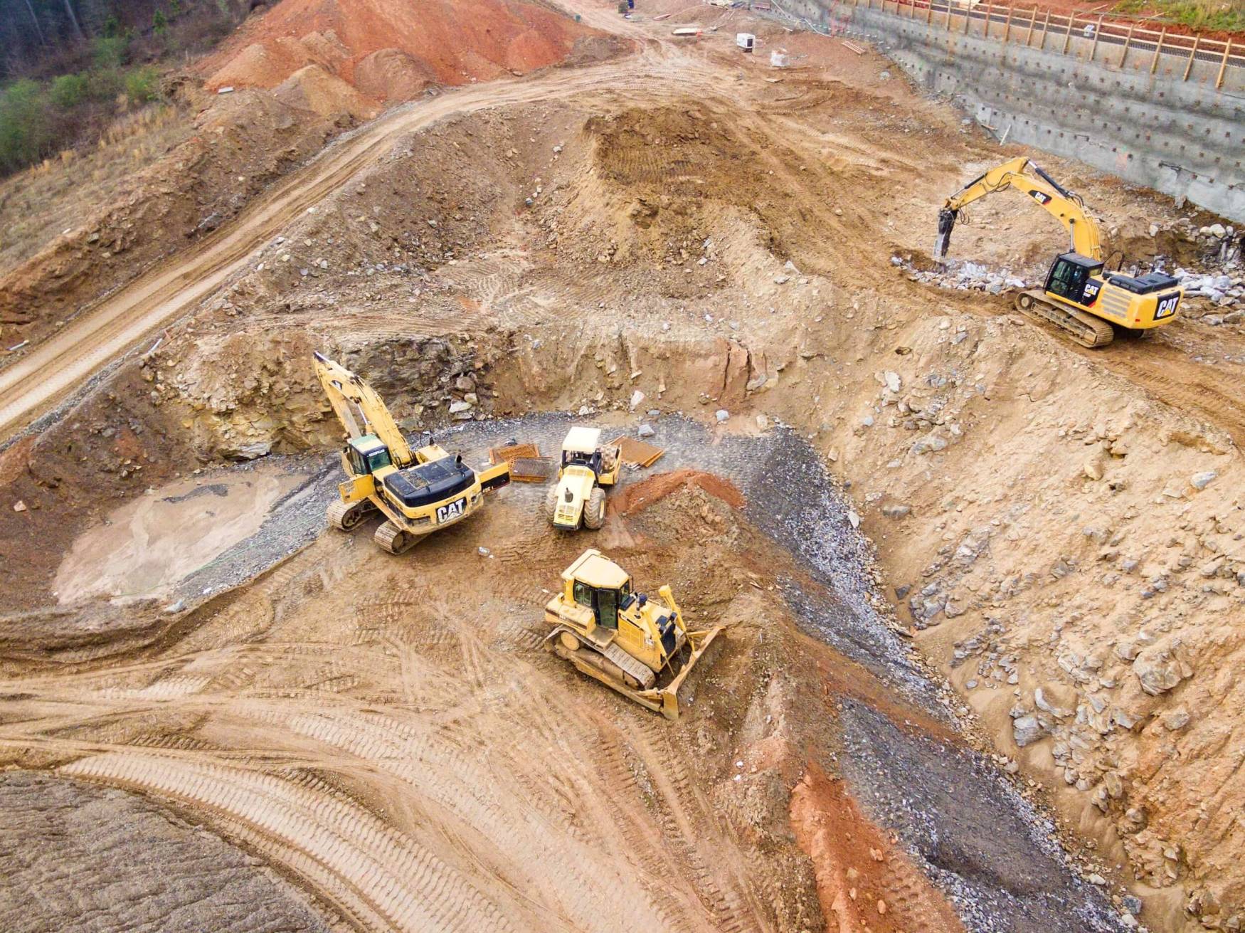
Our remote sensing services revolutionize construction spanning from project planning, monitoring, and maintenance. These services offer detailed surveys and mapping for precise site assessments and progress tracking, ensuring projects stay on schedule and comply with design specifications.
Our drones also conduct safety inspections in inaccessible areas, manage inventory, and capture stunning visuals for marketing and documentation.
Ultimately, drones streamline operations, and provide crucial data for informed decision-making throughout construction projects.
Deliverables
- DEM & DSM
- TIN Models
- Orthomosaics
- Progress Photos
- Done Videos
- Virtual Fly Through Tour
- Area and Volume Calculations
- Water Retention Volumes
- Drainage/Slope Analysis
- Cut/Fill analysis
- Built to Design Report
- Site Surveys
APPLICATIONS
Safe and Effective Solutions
Construction progress monitoring
Document and monitor construction projects from start to finish with arial photos, videos, maps, and 3D models.
Earthworks volumetric measurement monitoring
Track earthworks displacement at your construction site with periodic cut/fill analysis.
Stockpile measurement with arial volumetric scans.
Our LiDAR and photogrammetry solutions are capable of comparing current construction progress to design for estimates and quality control purposes.
Drainage Analysis
After performing a topographical scan we use a digital elevation model, providing accurate measurements for optimal drainage solutions. Additionally, we provide retention pond water volumes and detect overflow points.
Drainage Analysis
After performing a topographical scan we use a digital elevation model, providing accurate measurements for optimal drainage solutions. Additionally, we provide retention pond water volumes and detect overflow points.